- 463 7th Ave, NY 10018, USA
- +1 (212)-695-1962
- info@elementskit.com
Automating complex aviation criteria, 3D obstacle surfaces, and PANS-OPS procedure calculations with specialized AutoCAD engineering tools.
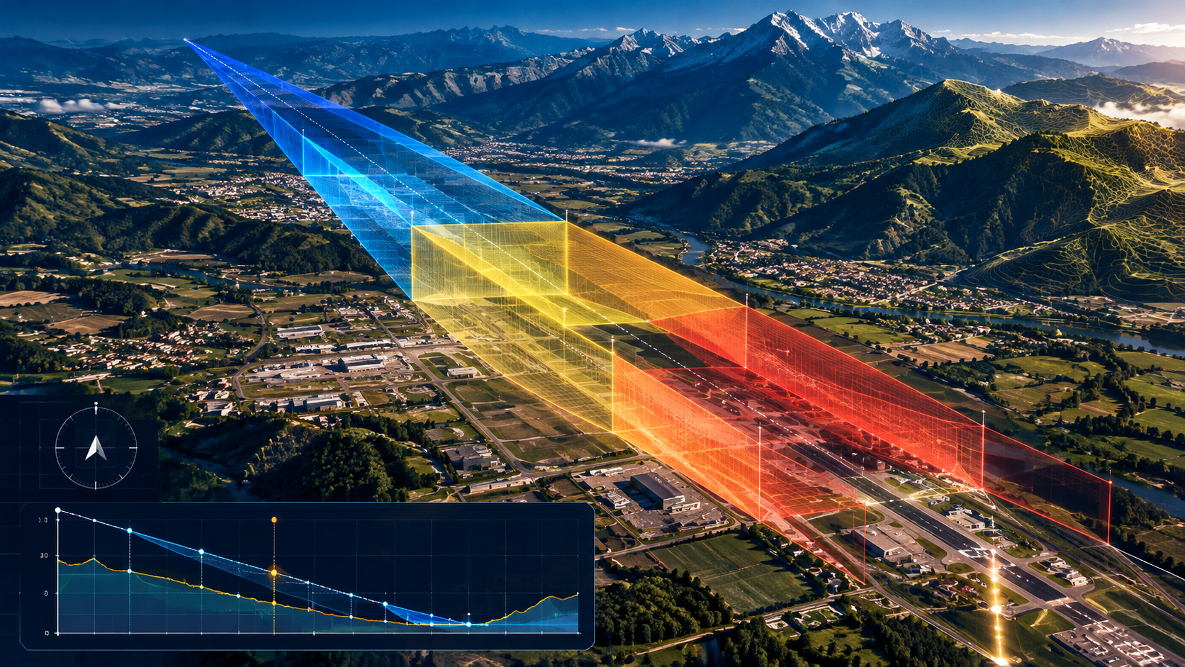
To eliminate human calculation error, accelerate project turnarounds, and automate complex mathematical criteria, GACS developed two proprietary software suites: Geo-Design Pans-Ops and Geo-Design Annexes. These specialized tools automate 3D surfaces, dimensions, and analytical calculations directly within AutoCAD environments.
Built in strict accordance with ICAO criteria, our software solutions allow civil aviation authorities, ANSPs, aerodrome operators, and procedure designers to generate compliant flight paths, obstacle evaluation databases, and aerodrome safeguarding surfaces with unprecedented speed, accuracy, and reliability.

Explore our dedicated aviation software modules designed to accelerate procedure engineering and aerodrome safeguarding.
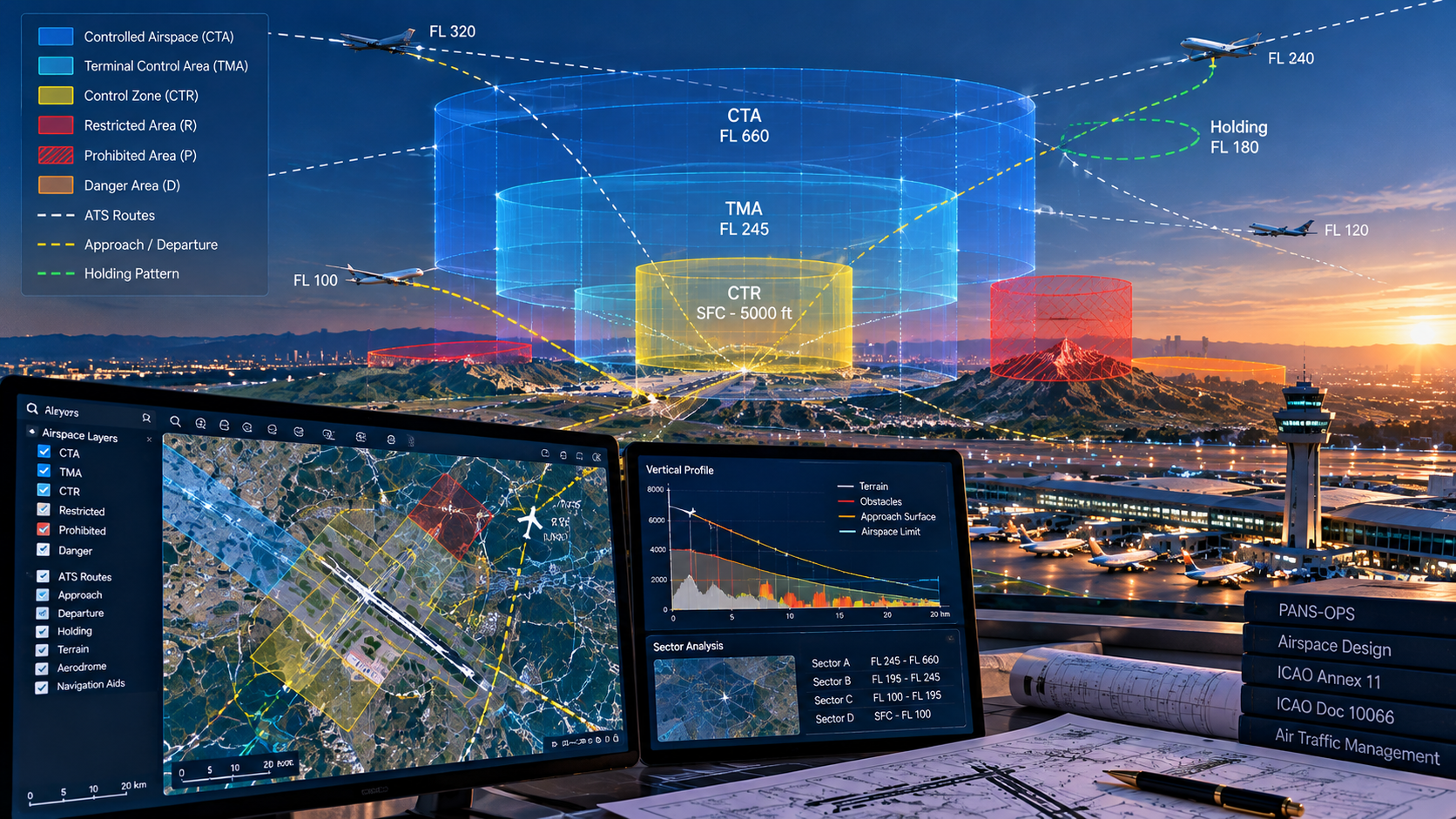
Automated calculation and 3D drawing of conventional and PBN departure, arrival, approach, and holding procedure protection areas.
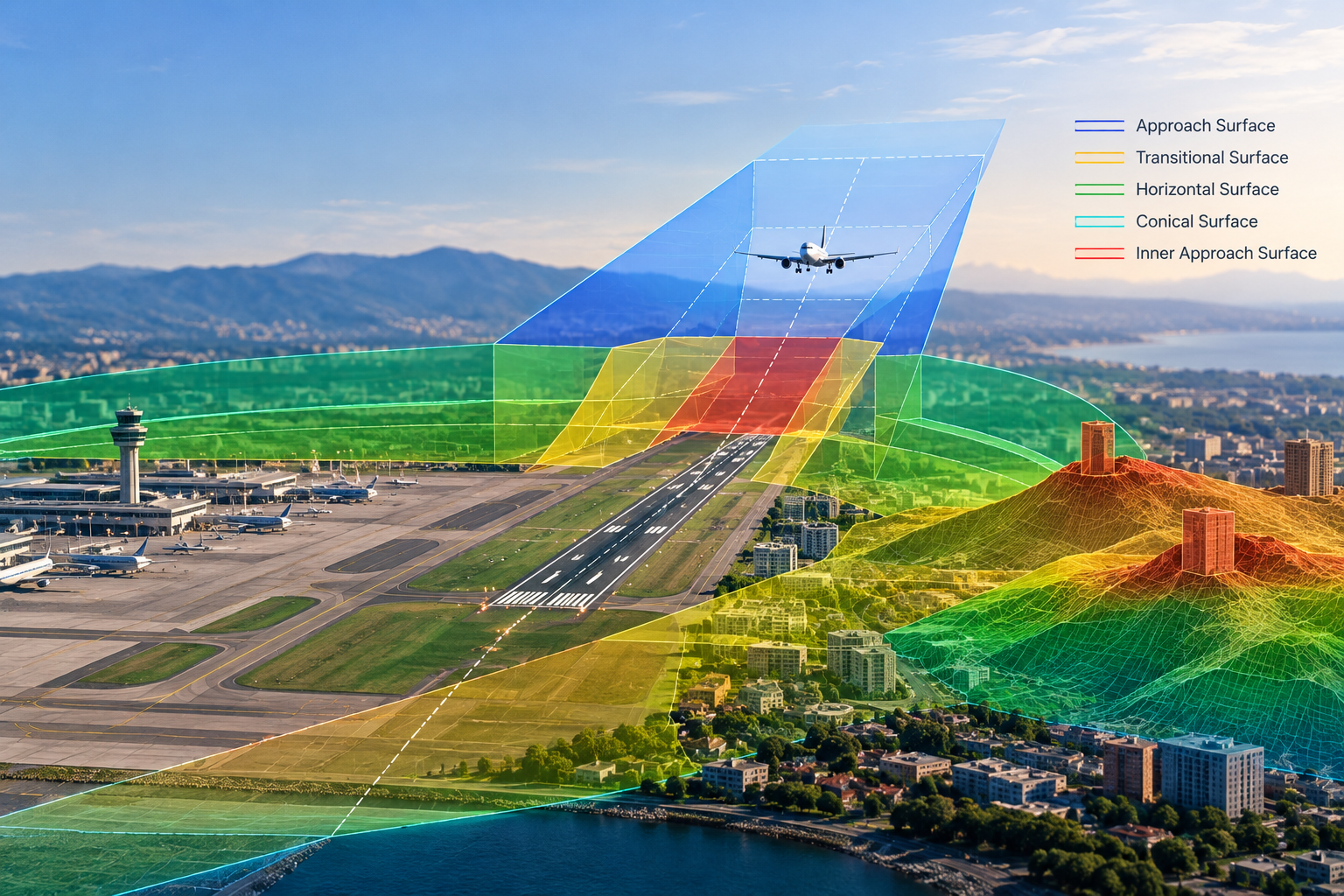
Instantaneous 3D modeling of ICAO Annex 14 aerodrome and heliport Obstacle Limitation Surfaces with automated obstacle penetration audits.
Generating publication-grade ICAO Type A charts, aerodrome ground layouts, and complex procedure plates with automated labeling.
Complete technical deployment, software customization for national regulatory standards, and intensive engineering training.
A proven software architecture designed to simplify complex aeronautical mathematics and streamline design workflows.
Implementing verified ICAO Doc 8168 and Annex 14 mathematical formulas into robust algorithms.
Seamlessly embedding calculation engines directly inside native AutoCAD and Civil 3D design environments.
Benchmarking automated outputs against manual calculations and real-world aerodrome datasets.
Delivering software packages with custom state regulatory parameters, documentation, and expert technical support.
Each software implementation includes complete tools, documentation, and ongoing support:

Our software algorithms are mathematically validated against ICAO Doc 8168 Vol II (PANS-OPS), ICAO Annex 14, and ICAO Doc 9368 (Instrument Flight Procedures Manual).
Contact GACS to request a live demonstration of Geo-Design software or discuss customized licensing and training for your organization.

Providing specialised aviation consultancy services and software to support safe, efficient and compliant aviation development worldwide.
© 2026 Global Aviation Consultancy Services. All rights reserved.