- 463 7th Ave, NY 10018, USA
- +1 (212)-695-1962
- info@elementskit.com
— OUR SOFTWARE
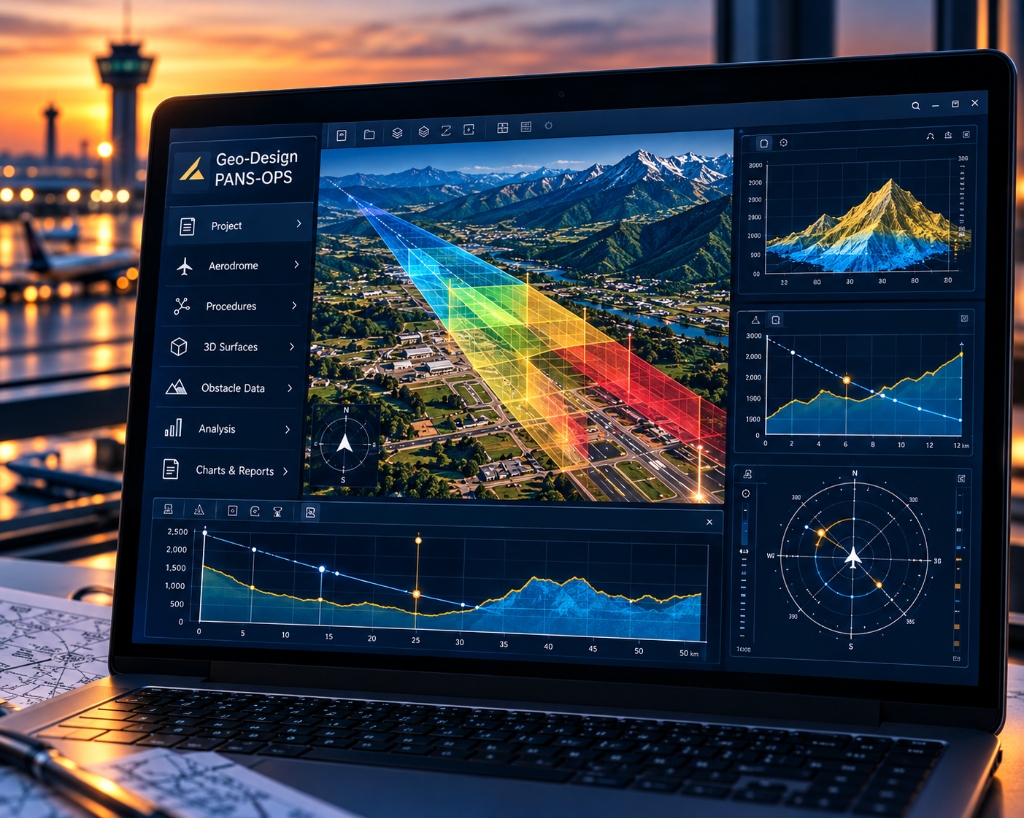
Specialised software for the design, analysis and visualisation of airport obstacle limitation surfaces (OLS) and aerodrome safeguarding in accordance with ICAO Annexes.
01 OVERVIEW
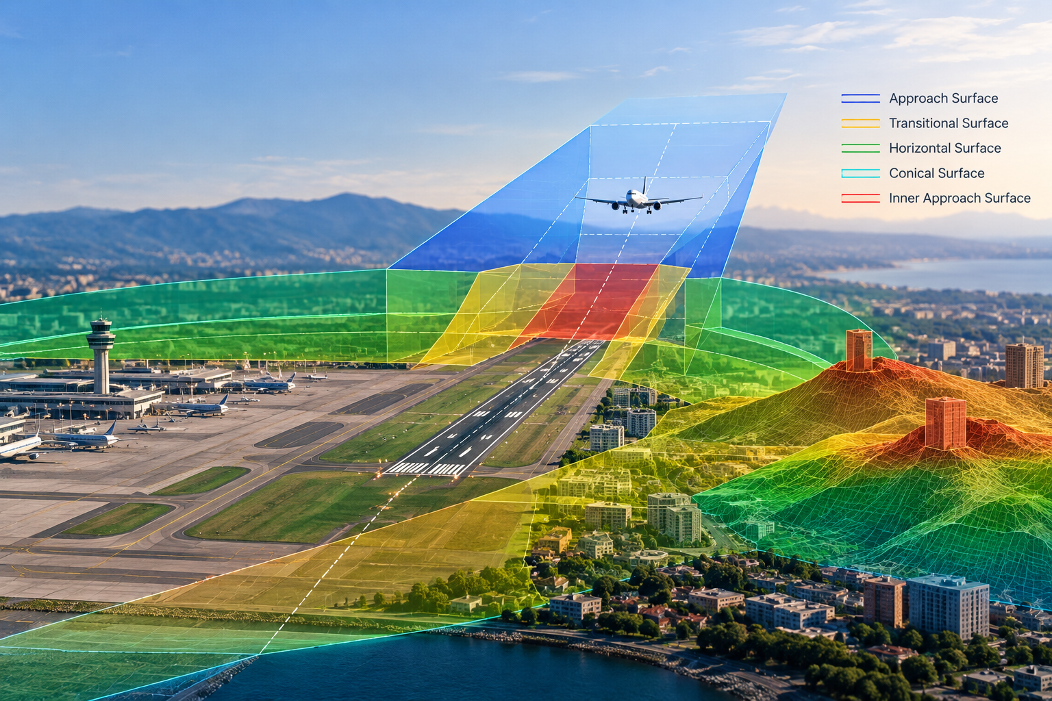
Geo-Design Annexes is a specialised software developed by GACS to support the design, analysis and visualisation of airport obstacle limitation surfaces (OLS) and aerodrome safeguarding in accordance with ICAO Annexes. It streamlines e-TOD related workflows, provides accurate 3D surface modelling and obstacle assessment, and supports WGS-84 and UTM coordinate systems.
02 SCOPE OF SOFTWARE
Geo-Design Annexes provides a comprehensive set of tools for the design and analysis of obstacle limitation surfaces and related aerodrome safeguarding requirements.
Design and visualise 3D obstacle limitation surfaces for all runway configurations in accordance with ICAO Annexes.
Import, manage and utilise e-TOD data and terrain models to support obstacle assessment and aerodrome safeguarding studies.
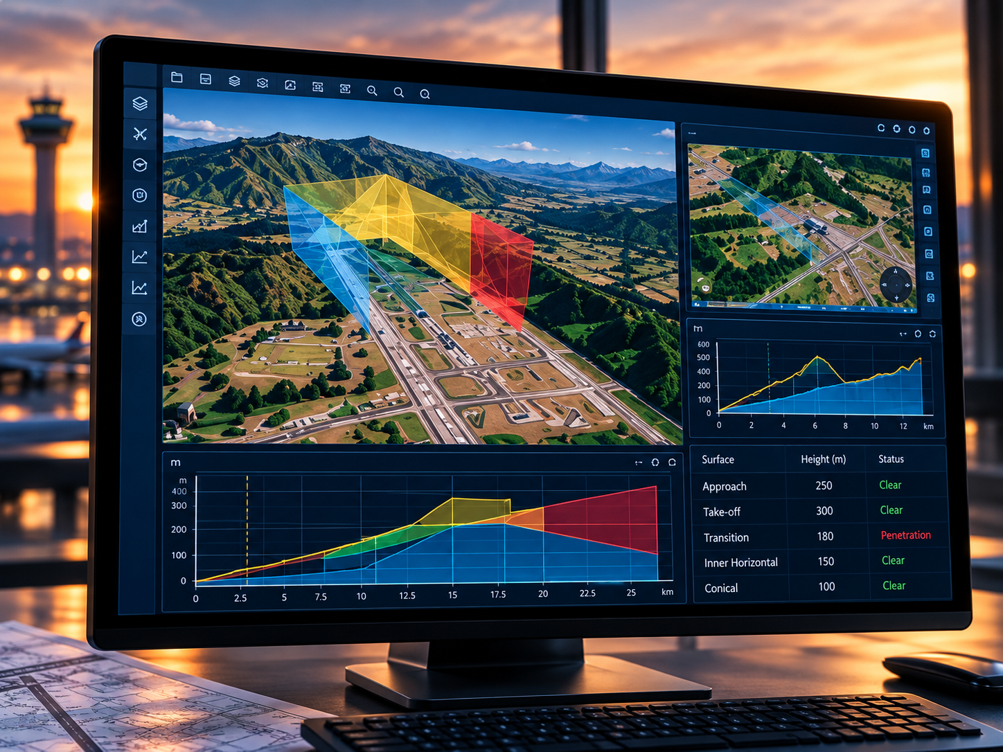
Identify and analyse obstacles within OLS, with detailed penetration analysis and object-height evaluation.
Support WGS-84 and UTM coordinate systems with data validation and quality checks to ensure accurate results.
03 OUR PROCESS
A structured workflow within Geo-Design Annexes to ensure accurate and efficient obstacle limitation surface design.
Import terrain, e-TOD and obstacle data.
Generate and visualise OLS in 3D and 2D.
Analyse penetrations and object heights.
Produce technical drawings and reports.
04 TYPICAL DELIVERABLES
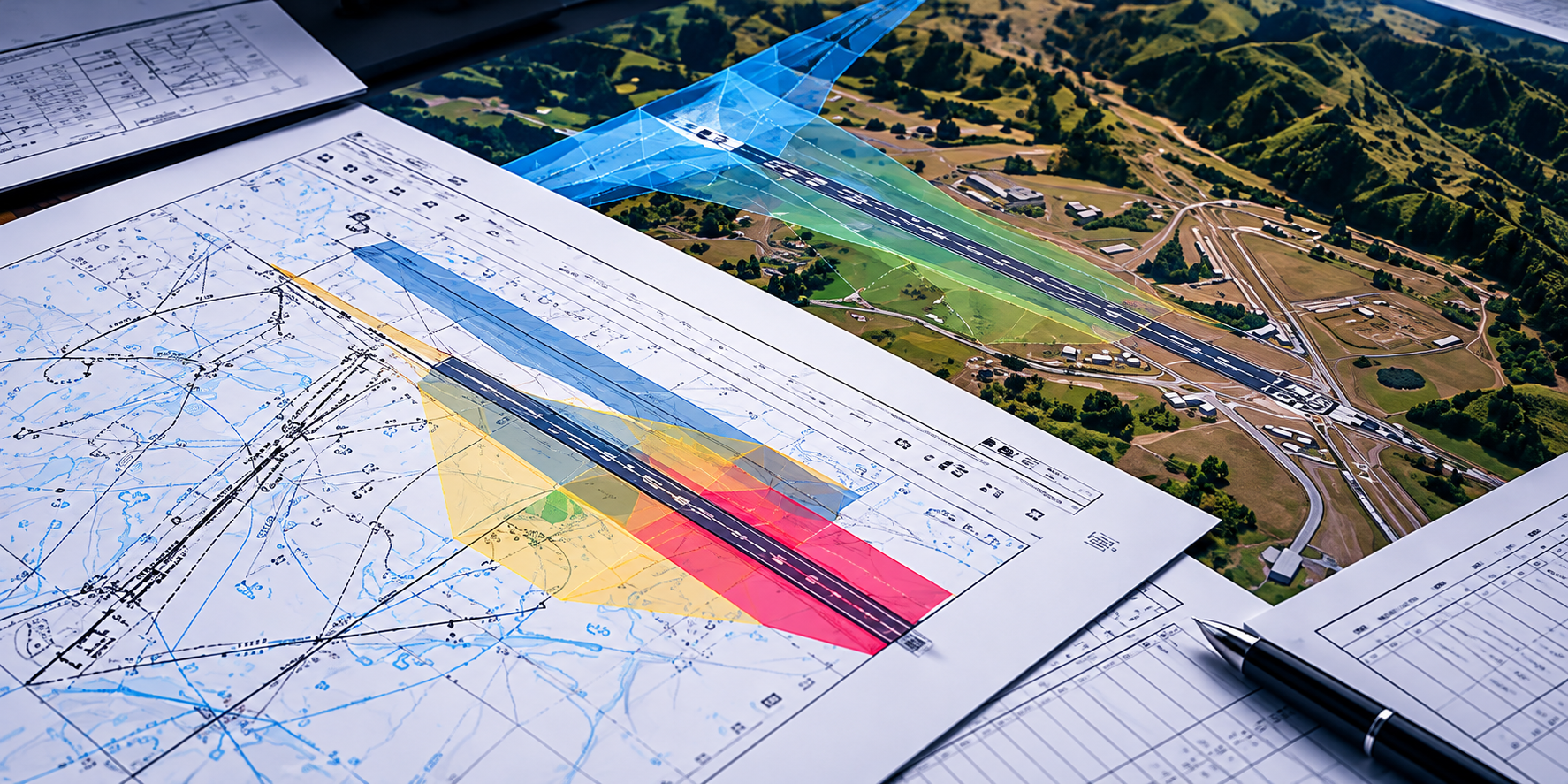
Geo-Design Annexes helps produce high-quality outputs tailored to project requirements, supporting aerodrome safeguarding and regulatory compliance, which may include:
— STANDARDS & GUIDANCE
Geo-Design Annexes supports the design and analysis of obstacle limitation surfaces in accordance with ICAO standards and recommended practices.
Aerodromes
Aeronautical Information Services
Coordinate Systems
05 RELATED SERVICES
— GET IN TOUCH
Contact GACS to discuss your requirements and learn how our software and expertise can support your aviation projects.

Providing specialised aviation consultancy services and software to support safe, efficient and compliant aviation development worldwide.
© 2026 Global Aviation Consultancy Services. All rights reserved.